
Under the Marine Spatial Plan, and in partnership with the Irish Marine Institute, the Research Vessel Celtic Explorer has begun a five-year journey of undertaking a bathymetric survey of Barbados' entire Exclusive Economic Zone (EEZ). Using a multibeam echosounder, an acoustic device that uses a very advanced sonar to map the seabed, Barbados will come to see its seafloor in high resolution; a vast and deep environment populated by underwater canyons, mountains, and other geomorphic features.
The Celtic Explorer's first expedition in Barbados' waters began on the 15th of August and runs till the 17th of September 2025. Local scientists had the opportunity to take part in the survey, with the Barbados Fisheries Division's Fisheries Biologist, Jalisa King, having the privilege of sharing in this exciting journey.
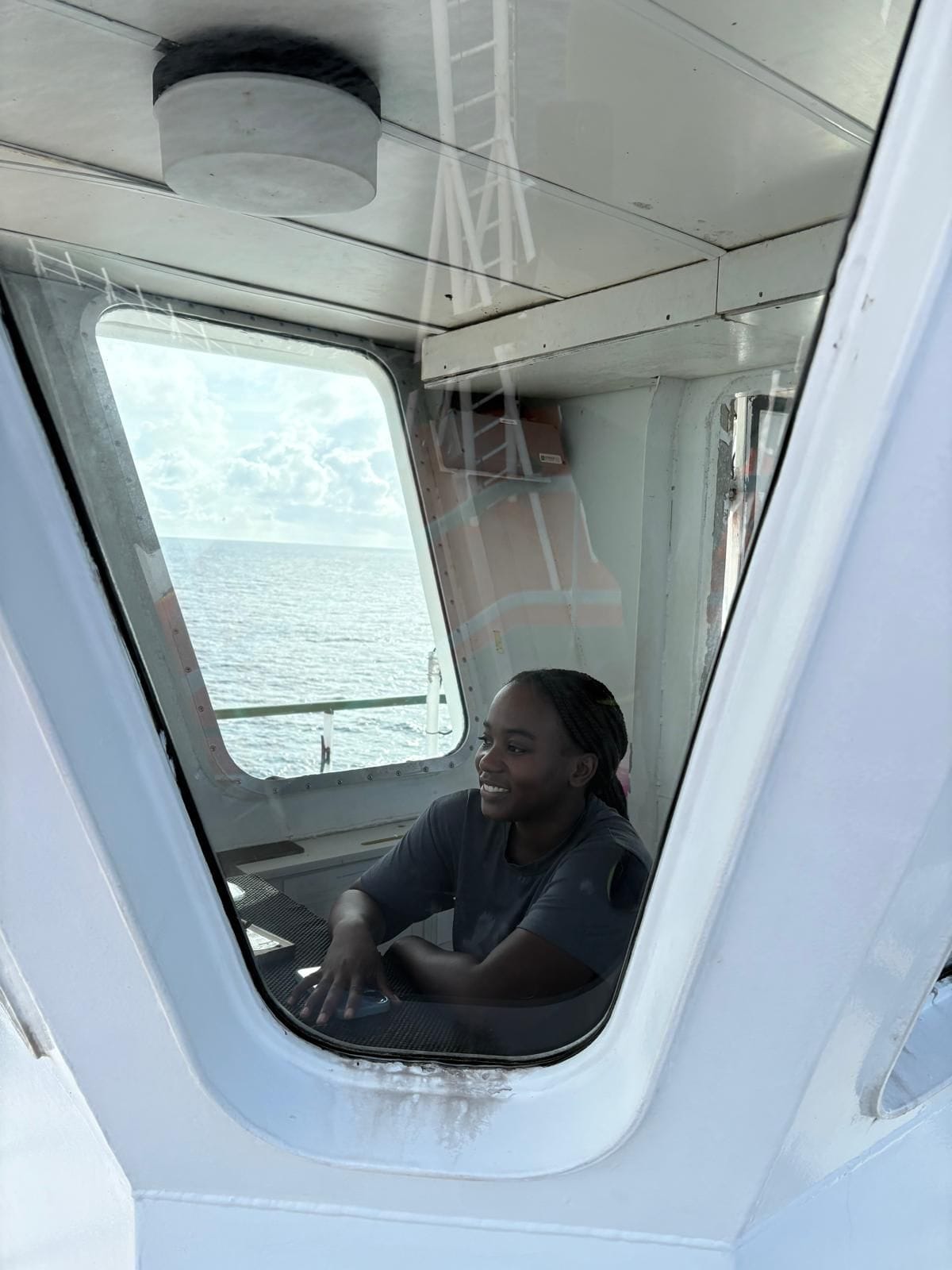
Fisheries Biologist Jalisa King aboard the RV Celtic Explorer (Photo credits: Jalisa King).
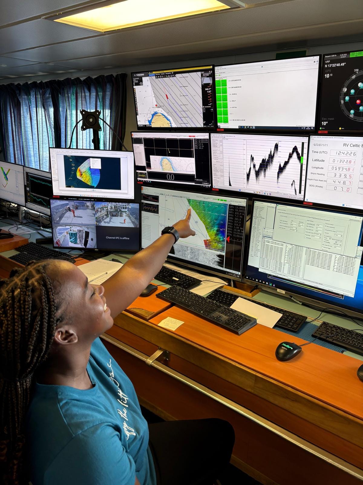
During her time at sea, Jalisa learned about the operations of highly technical instruments such as multibeam echosounders, CTD (Conductivity, Temperature, and Depth) devices, and the various softwares that display the collected data. Time was also spent in the Crow's Nest, to visually survey the waters for marine mammal activity, such as dolphins and whales.
This expedition was the first of many, and understanding the bathymetry (the underwater depths of the ocean floor) will help Barbadian decision-makers understand and infer what types of marine life are associated with the features found. Going forward, these areas will be among the first to be visually explored using remote video systems. This is cruicial for the Marine Spatial Planning Unit, which is charged with determining what ocean-use activities occur where and at what times.
As there are many industries that utilize the ocean and its resources such as fisheries, tourism, energy, as well as the general public, this information is critical as Barbados makes sustainable management decisions regarding its EEZ.
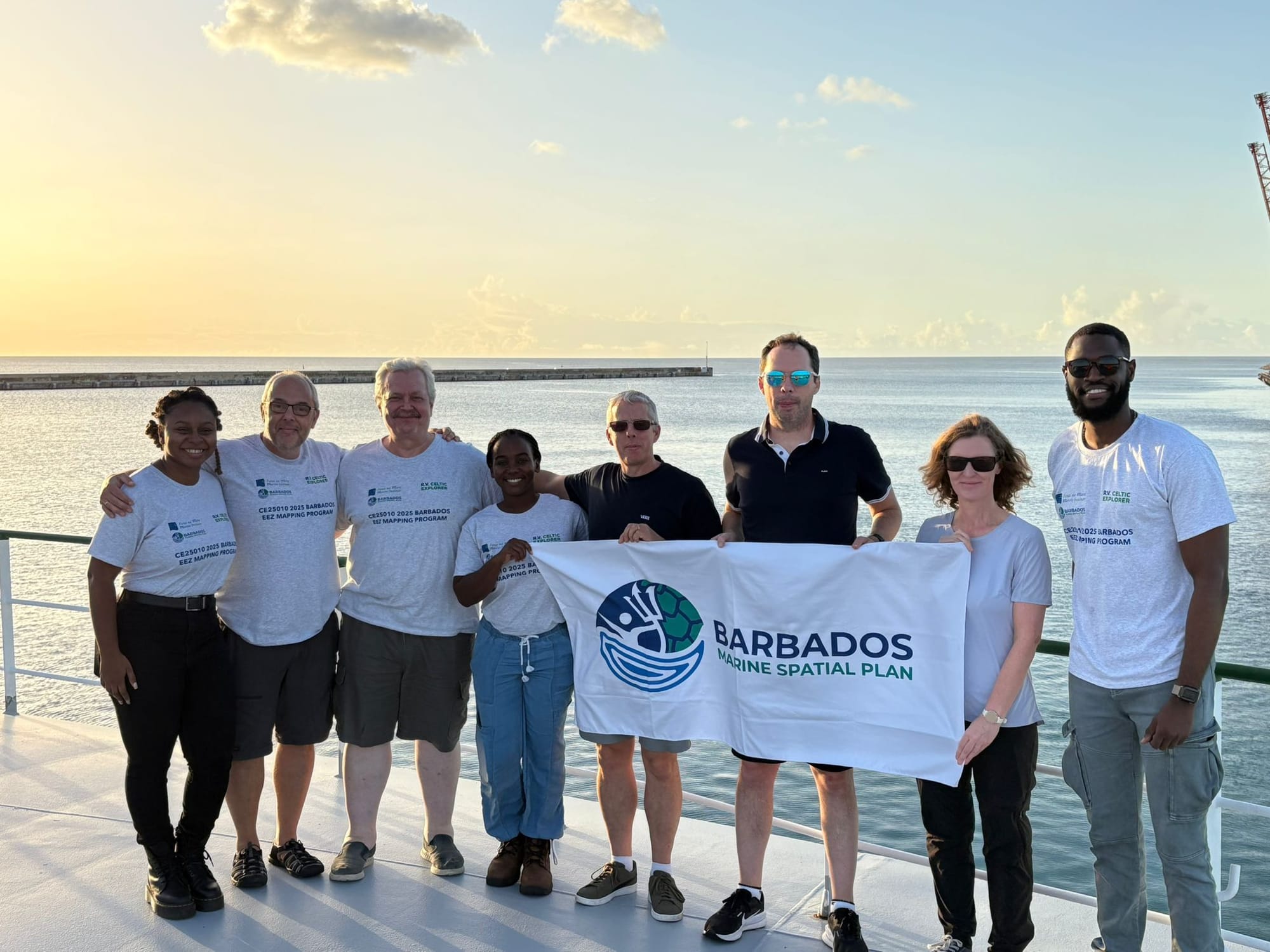
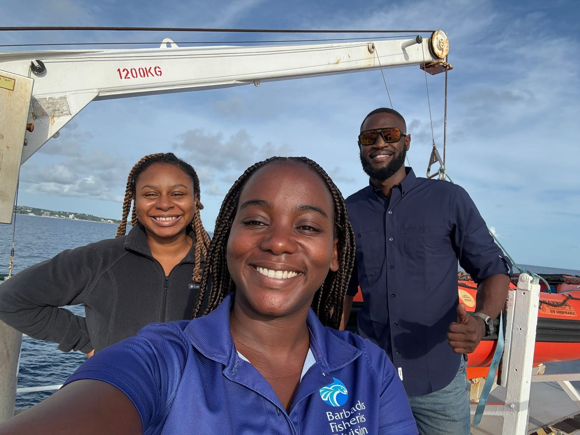
Left image: the Barbadian and Irish teams together (Photo credit: Joseph Weekes) | Right image: the local researchers who joined the expedition. Tori Bryan-Carter (left), Jalisa King (middle), and Joseph Weekes (right) (Photo credit: Jalisa King).
Cover photo credit: Irish Marine Institute.